The Mixon

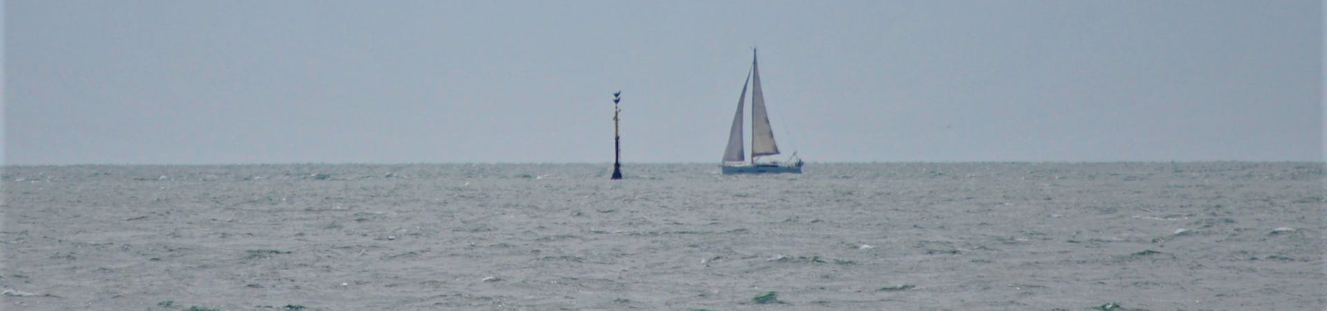
The Mixon is marked by a beacon, about a mile or so offshore.


Look out to sea from Selsey Bill, towards the South East, about a mile or so offshore you will see a beacon sticking up out of the water. At low tide you may even be able to see a little island emerge. This marks the Eastern end of the Mixon reef.
The Mixon is a limestone outcrop formed around 45 million years ago during the Eocene period. The limestone is of a unique type, formed from the fossilised remains of sea creatures. It is known amongst the geological community as Mixon rock. Before the quarrying of the limestone began it is believed that the Mixon stood some 6 metres above sea level and provided a natural vantage point.
A popular source of building material for thousands of years Mixon rock can even be found in the foundations of Fishbourne Roman Palace. It is believed that the Mixon would have housed Roman and early Saxon settlements as it would have been still part of the mainland at that time. In Bede’s description of St Wilfrid's journeys he describes just such an outcrop.


What was Mixon Rock Used For?
Mixon rock can be found in numerous buildings throughout the area. Perhaps most notably the Church of the Holy Trinity, Bosham, many cottages and houses in Selsey and St Wilfrid’s chapel at Church Norton.
Removing material from the Mixon was a cottage industry prior to the early 19th century - when the leap in demand for building material increased. Quarrying took on a much more organised nature and it is estimated that during the 1820s that as much as 18,000 tonnes of material was removed!
Much of this was used in the construction of the Hayling Island bridge and causeway.
Finally after petitioning from local residents quarrying of the Mixon was banned in 1830.